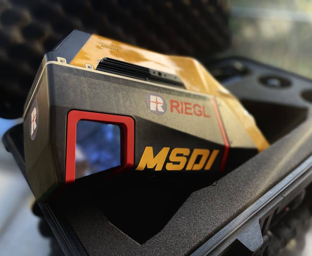
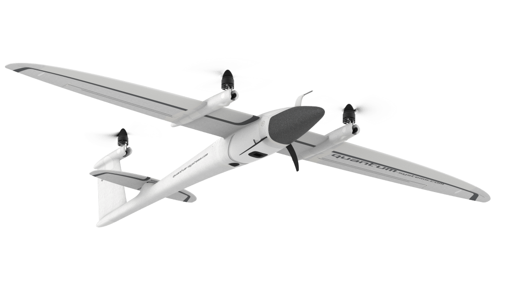
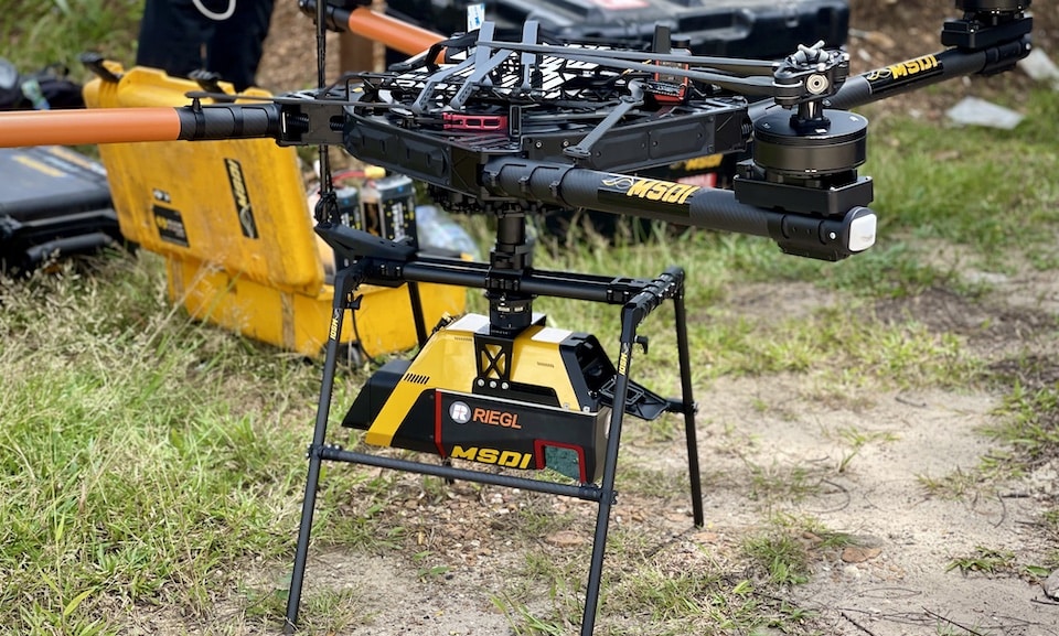
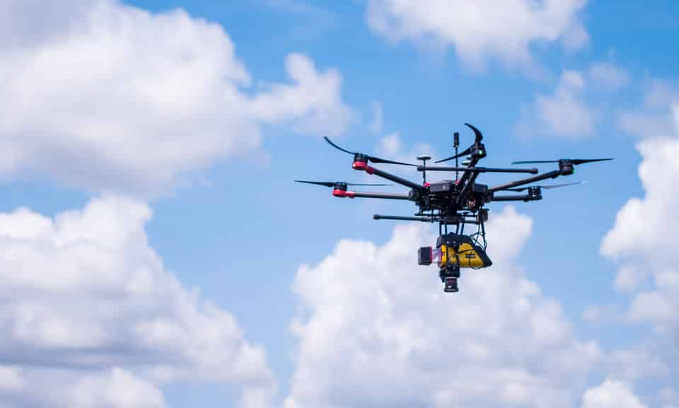
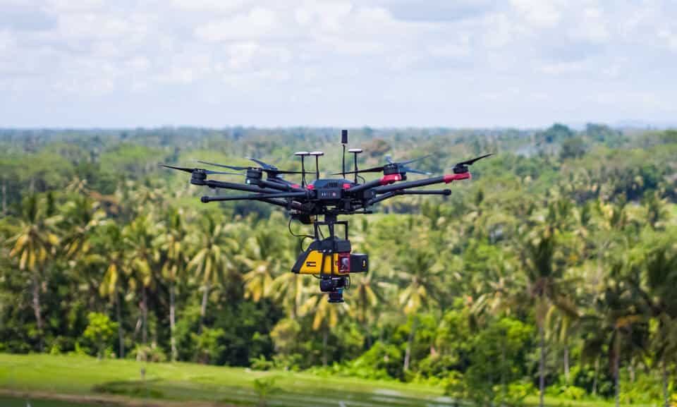
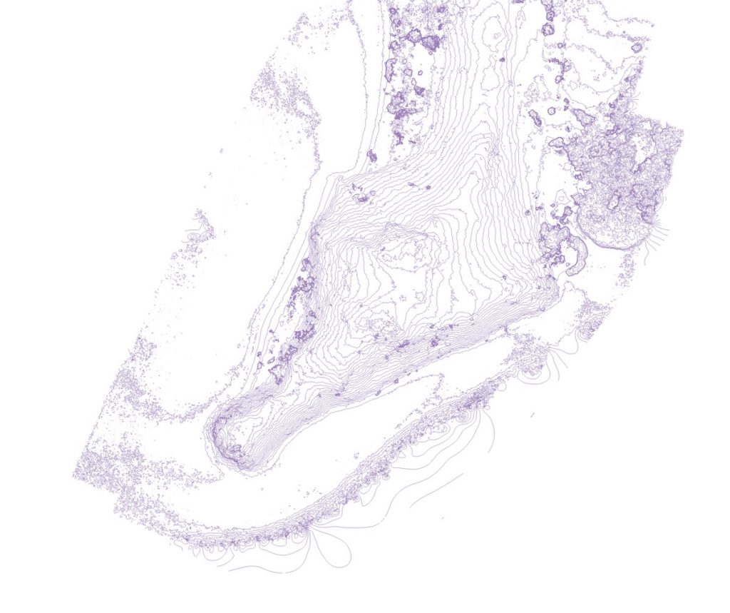
Bali Drone Production offers state-of-the-art mapping and topography services, deploying advanced lidar and photogrammetry techniques. Our suite of equipment includes leading-edge technologies such as the Yellowscan VX15 and Yellowscan Voyager 3D laser scanners, Trimble RTK GNSS antennas, and robust industrial drones like the Matrice 600 Pro and Freefly Alta X. For inspection purposes, we utilize drones like the Inspire 2, Matrice 300RTK, and Mavic 3 Enterprise, among others.
We extend beyond mapping to offer asset inspection services and surveys, catering to a wide range of sectors such as Oil & Gas, Mining, Archaeology, Civil Engineering, Forest Management, and Real Estate Development.
At Bali Drone Production, we take immense pride in offering drone lidar mapping services across Indonesia, reaching the farthest corners of the nation’s islands including Kalimantan, Borneo, Java, Sumatra, Lombok, Sulawesi, Papua, and more. We are dedicated to bringing cutting-edge drone services to the diverse landscapes of the Indonesian archipelago.
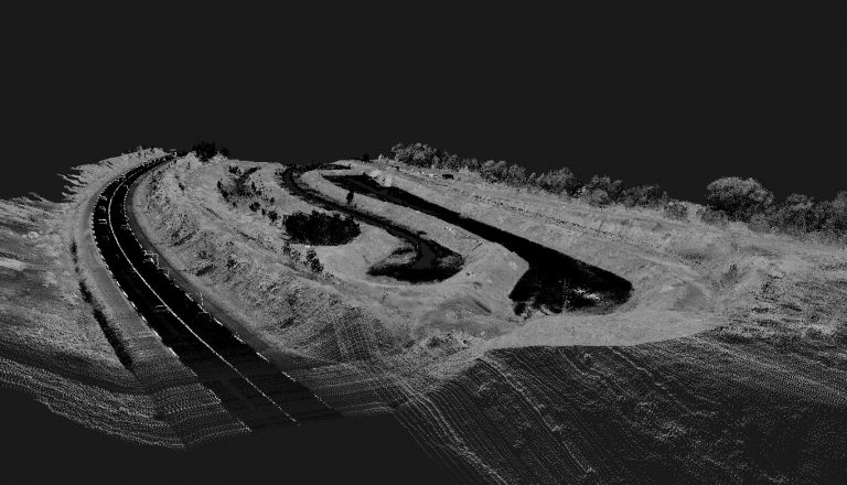
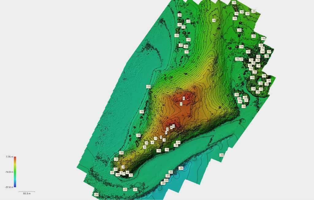
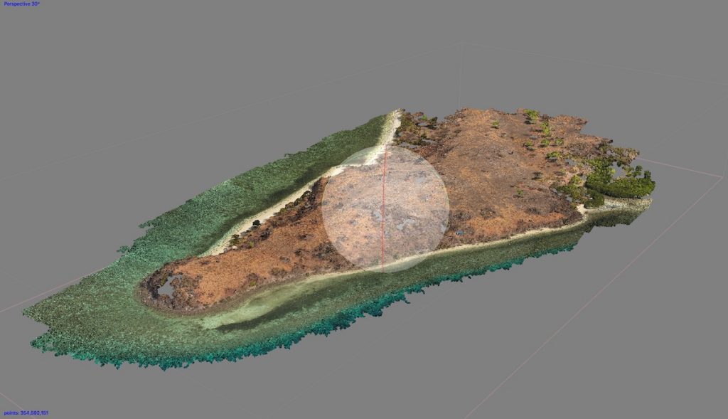
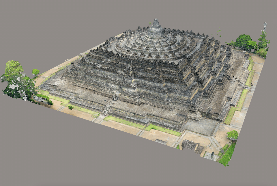
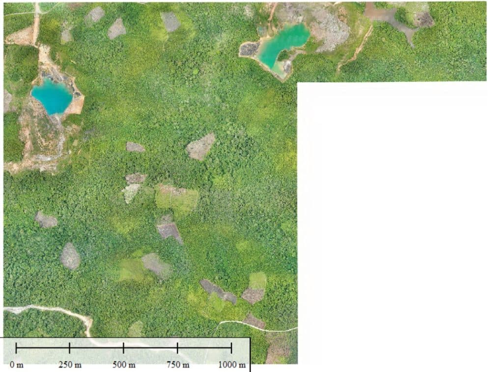
Photogrammetry not only allows us to export 3D maps but also 2D layouts such as orthomosaic plans. You can directly incorporate these into your management or development software. For a larger perspective, you can also integrate the maps into Google Earth for the most up-to-date satellite images.
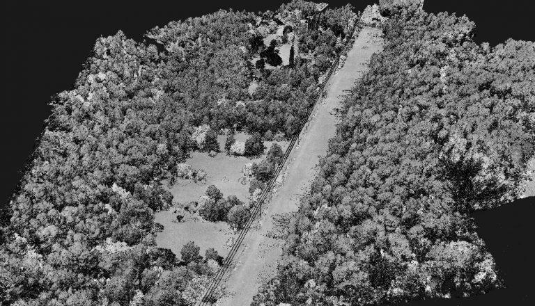
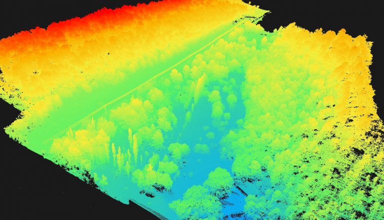
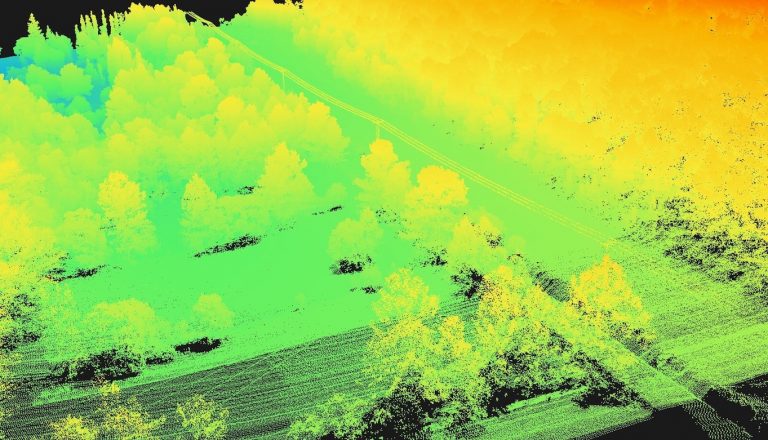
However, it’s worth noting that photogrammetry has its limitations when it comes to dense vegetation, which can interfere with the calculation of accurate data. In such instances, we recommend switching to our LiDAR technology for best results.